Why Did an Entire Village Disappear From Soviet Maps?
At 4:20 p.m. on September 29, 1957, a concrete tank buried in the Ural Mountains exploded with enough force to blow a hundred-ton lid into the air. No fire. No mushroom cloud. Just a column of radioactive dust drifting northeast, settling over farmland, rivers, and villages that, within two years, would no longer appear on any Soviet map.
This is the Kyshtym disaster, one of the worst nuclear accidents in history, and one the Soviet government managed to hide from its own citizens for nearly two decades.
September 29, 1957: The Blast Behind the Kyshtym Disaster
The explosion happened at the Mayak Production Association, a plutonium production complex near the closed city then known as Chelyabinsk-40, according to the International Atomic Energy Agency. The facility supplied plutonium for the Soviet nuclear weapons program.
A cooling system failure inside an underground waste storage tank allowed radioactive sludge to overheat and dry out, the World Nuclear Association reports. The resulting chemical explosion, not a nuclear detonation, released an estimated 20 million curies of radioactive material into the atmosphere.
Inside the Mayak Plutonium Complex
Mayak had already been discharging liquid radioactive waste directly into the nearby Techa River since 1949, contaminating downstream communities years before the 1957 explosion, according to research compiled by historian Kate Brown in Plutopia, her 2013 study of Soviet and American plutonium cities.
That earlier contamination meant some villages near Mayak were already living with elevated radiation exposure when the tank exploded. The 1957 blast simply added a second, far more concentrated wave of fallout across a wider area.
The Fallout Zone Soviet Officials Called the EURT
The explosion sent contaminated dust roughly 200 miles northeast, settling into a long, narrow band later documented as the East Ural Radioactive Trace, or EURT, by the International Atomic Energy Agency.
Estimates of the affected area vary by source, generally ranging between 15,000 and 20,000 square kilometers, based on figures compiled by the World Nuclear Association. Roughly 270,000 people lived within or near the contaminated zone at the time of the accident.
Villages Left in the Explosion’s Path
Soviet authorities didn’t evacuate immediately. Some communities reportedly continued farming and drinking from local water sources for days or weeks before officials fully grasped the scale of contamination, according to accounts later compiled by Kate Brown in Plutopia.
One settlement directly within the fallout path, recorded in later Soviet cleanup documentation as [VERIFY: exact village name and population figures require primary-source confirmation], was among dozens of communities eventually marked for full evacuation and demolition.
Over the following two years, Soviet authorities relocated an estimated 10,000 to 12,000 residents from the most heavily contaminated villages, a figure cited by the World Nuclear Association.
How Soviet Censorship Erased Villages From the Map
Evacuation wasn’t the end of the story. Once residents left, demolition crews physically destroyed homes, barns, and public buildings across the worst-affected villages, according to the International Atomic Energy Agency‘s later technical review of the disaster.
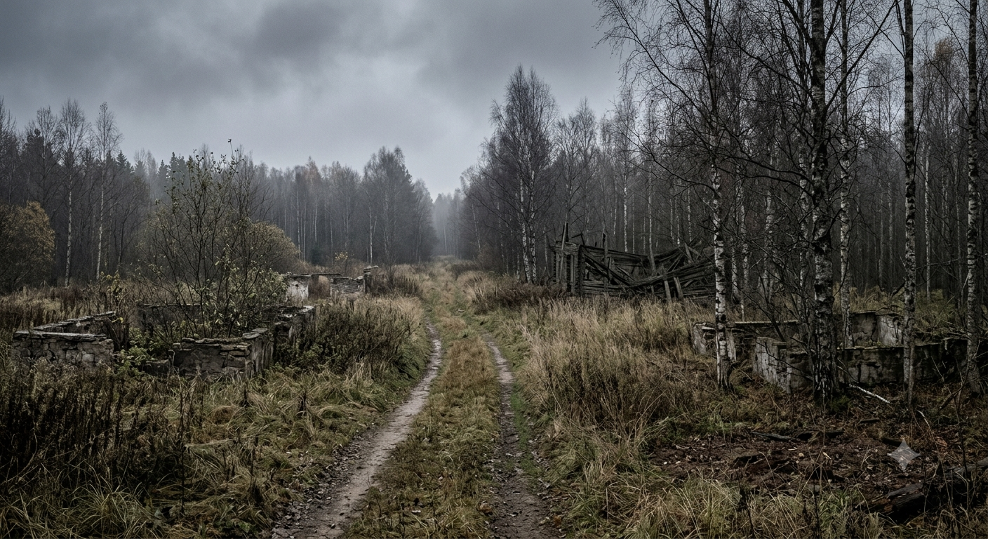
Livestock were culled. Topsoil was stripped or plowed under in an attempt to reduce radioactive contamination. Roads leading into the zone were closed, and the villages themselves stopped appearing on subsequently printed regional maps.
Bulldozers, Blank Space, and State Secrecy
This wasn’t accidental omission. The Soviet government classified the entire event, treating both the accident and the resulting evacuations as state secrets, according to Kate Brown’s research in Plutopia.
Cartographers working under Soviet military oversight routinely altered maps to remove sensitive military and industrial sites, a broader practice documented by historians studying Soviet-era cartography. Villages tied to a classified nuclear accident fell under that same erasure policy, leaving blank, unlabeled terrain where communities had stood for generations.
Zhores Medvedev Breaks Twenty Years of Silence
The Soviet public had no official confirmation of what happened near Chelyabinsk-40 for almost two decades.
That changed in 1976, when biologist Zhores Medvedev, then living in exile in the United Kingdom, published an article in New Scientist describing a major radioactive contamination event in the southern Urals. He later expanded the account into a full book, “Nuclear Disaster in the Urals,” published in 1979.
A Scientist Piecing Together a Cover-Up
Medvedev worked from scattered scientific literature, including Soviet ecological studies that referenced unusually high radiation levels in the region without directly explaining their cause, a research method later described in reviews of his work archived by the Bulletin of the Atomic Scientists.
Soviet officials publicly denied Medvedev’s account for years. Independent radiological surveys and later Russian government acknowledgments eventually confirmed the core details of his reporting, though full official disclosure from Moscow didn’t arrive until the late 1980s and early 1990s, following the broader transparency policies of glasnost.
What Western Intelligence Knew, and Kept Quiet
Medvedev wasn’t the first outsider to learn something serious had happened near Chelyabinsk-40.
Declassified American intelligence records, held today by the National Security Archive at George Washington University, indicate the CIA had gathered evidence of a major Soviet nuclear accident by the late 1950s, likely through satellite imagery and signals intelligence.
According to analysis published by the Bulletin of the Atomic Scientists, U.S. officials reportedly chose not to publicize the accident at the time, partly out of concern that public awareness might raise uncomfortable questions about safety conditions at America’s own plutonium facilities, including the Hanford Site in Washington state.
The Exclusion Zone That Still Exists Today
The Soviet Union eventually designated the most contaminated section of the EURT as a restricted scientific reserve, now managed as the East Ural Nature Reserve under Russian federal oversight.
Public access remains limited within the reserve’s core zone, according to information published by the International Atomic Energy Agency, though controlled scientific research has continued there for decades, studying long-term ecological recovery in an area humans were forced to abandon.
A Level 6 Accident Still Overshadowed by Chernobyl
The Kyshtym disaster is officially rated Level 6 on the International Nuclear Event Scale, according to classification data maintained by the International Atomic Energy Agency. That places it below only the Chernobyl and Fukushima disasters in severity, both rated Level 7.
Despite that ranking, the Kyshtym disaster remains far less widely known internationally than either of those two events, largely a consequence of the nearly twenty-year information blackout that followed it.
The Villages That Never Returned to the Map
Even after Russian officials formally acknowledged the disaster, the specific villages destroyed and depopulated in 1957 and 1958 were never rebuilt or re-added to standard regional maps.
Some former settlement sites remain marked today only as restricted or uninhabited zones, a detail confirmed through Rosatom’s public archival materials on Mayak’s Soviet-era history. Former residents and their descendants have occasionally returned to mark or memorialize former village sites, though systematic public documentation of each individual settlement remains limited.
That gap in the historical record is itself part of the story. A disaster hidden for twenty years left behind villages whose full histories, populations, and final days remain only partially documented, even now.
Sources
- International Atomic Energy Agency — Technical background and INES classification of the Kyshtym disaster
- World Nuclear Association — Overview of the Mayak accident and affected population estimates
- Kate Brown, Plutopia (Oxford University Press, 2013) — Historical research on Mayak, Chelyabinsk-40, and Soviet plutonium cities
- Zhores Medvedev, “Nuclear Disaster in the Urals” (1979) — First detailed public account of the disaster
- Bulletin of the Atomic Scientists — Analysis of declassified intelligence and historical reporting on the disaster
- CIA / National Security Archive, George Washington University — Declassified U.S. intelligence records referencing the accident